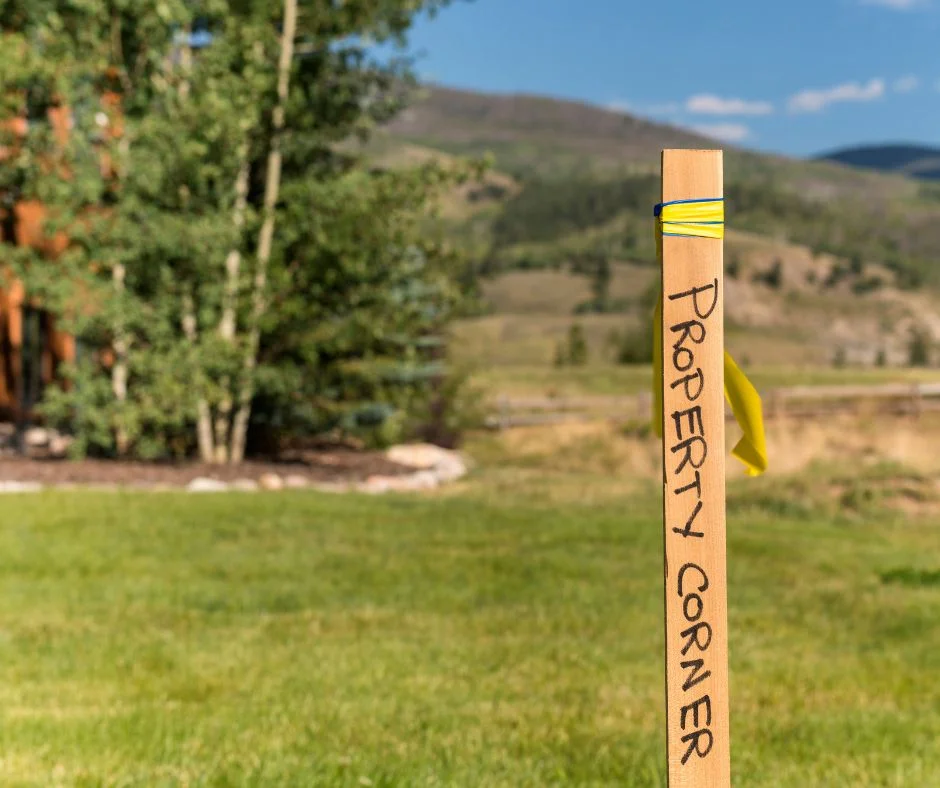
Detail Survey Sydney
Before your architect puts pen to paper, they need to know exactly what's on your block. A detail survey gives them that foundation - every level, every tree, every service pit, mapped with centimetre accuracy. Without one, you're designing blind and risking expensive surprises once construction starts.
- Free Professional Counsel & Proposal
- Cutting-Edge GIS, GPS & Laser Technology
- 100% Satisfaction Guarantee
Get Your Free Quote
Fill out the form below and we'll get back to you within 24 hours.
The Foundation of Your Design
We survey residential blocks, commercial sites, and development parcels across all of Greater Sydney. Your architect or engineer gets CAD-ready files that slot straight into their design software, meeting NSW planning requirements for DA submissions.
Precise Levels
AHD levels and contours to 0.1m accuracy for drainage design.
Tree Mapping
Canopy spread and trunk diameter for all significant trees.
Neighbour Data
Ridge and gutter heights of adjacent homes for shadow diagrams.
CAD Ready
DWG files compatible with ArchiCAD, Revit, and AutoCAD.
Scanning The Terrain
Using robotic total stations, we capture thousands of data points across your site. This creates a 3D digital twin of your land, ensuring your architect has perfect data to work with.
Our Survey Process
Site Visit
We visit the site (approx 2-3 hours) to scan the terrain.
Laser Scanning
Using robotic total stations to capture data points.
CAD Drafting
Processing point clouds into a clean 2D/3D DWG file.
Delivery
We email the plans directly to you and your architect.
What You Receive
You will receive a digital PDF Survey Report signed by a registered surveyor.